A Casa de Gobo is the perfect starting point to discover the eastern Galician mountains: hiking routes, nature, and heritage just minutes away.
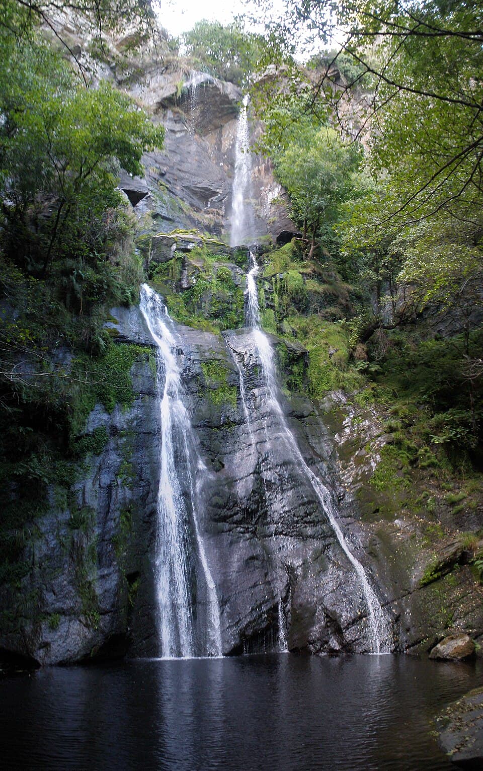
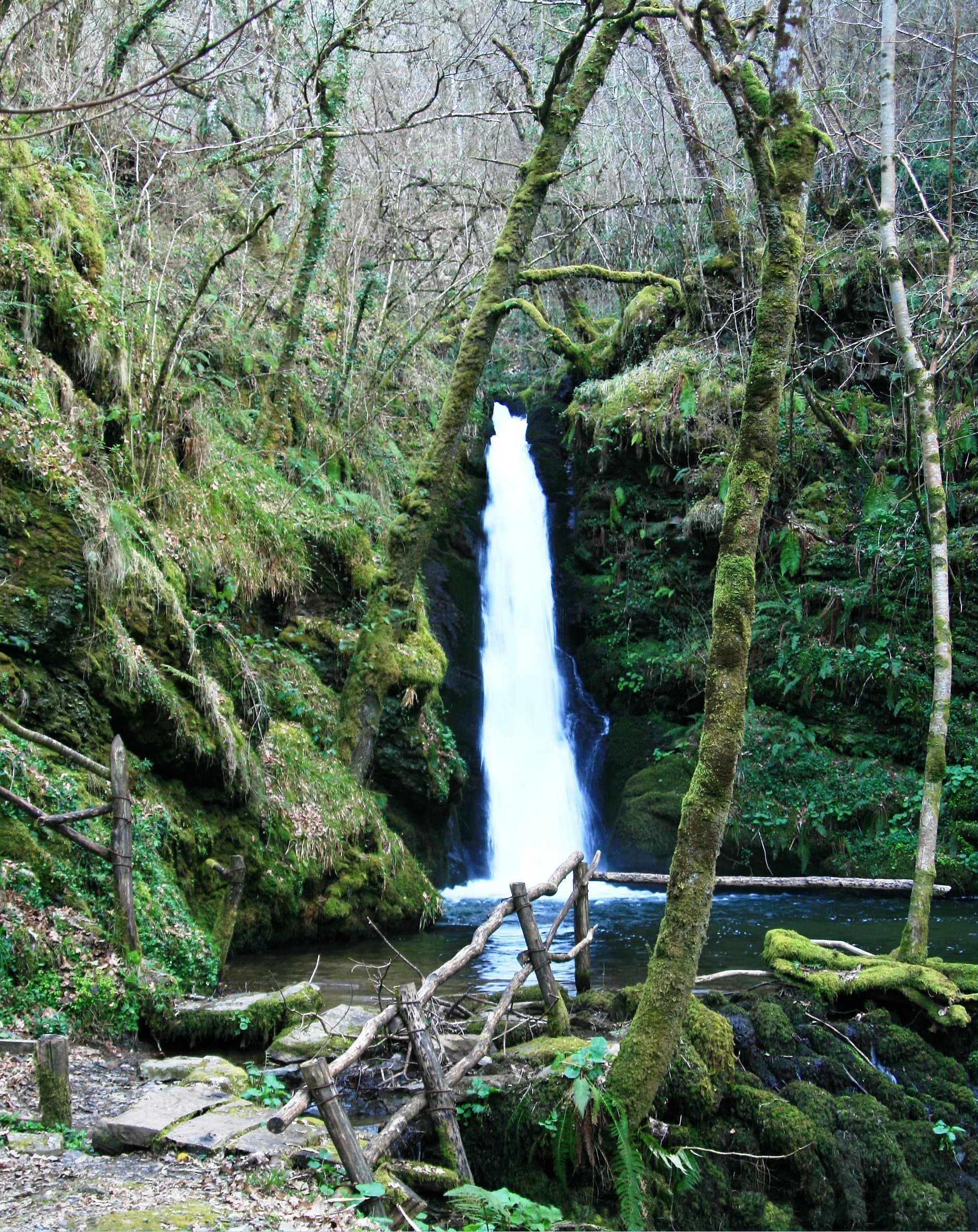
With a 54-metre free fall, the Seimeira de Vilagocende is considered the tallest waterfall in Galicia. It is formed by the waters of the Porteliña River, born high in the Serra do Hospital, which plunges down moss-covered rock walls in the parish of San Martín de Suarna, within the Río Eo, Oscos e Terras de Burón Biosphere Reserve. It's reached from A Fonsagrada by taking the LU-530 and then the LU-721 towards Vilagocende, where a small car park and information panel mark the start of the trail. From there, an easy linear route of just 2.2 km round trip (around 30 minutes at a steady pace) follows a wide dirt path through birches, chestnuts, alders and oaks, with very little elevation gain, suitable for the whole family. At the waterfall itself, wooden walkways and a footbridge let you cross the river and get close to the base of the falls or climb to a nearby viewpoint for a full view of the drop. The surrounding area still holds the remains of an old stone mill, a reminder of the traditional use once made of these waters, along with a picnic area with tables, benches and a fountain. Local oral tradition also preserves an old legend about a man who received enchanted loaves of bread from a spirit living in the waterfall, a story still told among locals and woven into the folklore of the place. Water flow is at its best in autumn, winter and spring after rainfall, making these seasons the most rewarding time to see the falls in full force.
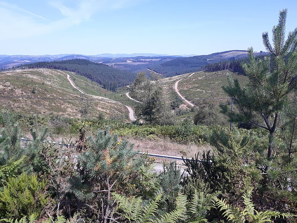
Also known as the "route of Alfonso II the Chaste" or Camiño Real, the Camino Primitivo is the oldest of all the ways to Santiago: tradition holds that the Asturian king himself walked it in the 9th century upon learning of the discovery of the apostle's tomb. Over the centuries it received royal protection from monarchs such as Alfonso III, Alfonso VI, Alfonso VII, Alfonso IX and Alfonso XI, and it remains one of the Jacobean routes with the richest history and character. The path enters the province of Lugo, and the municipality of A Fonsagrada, via the Alto do Acebo pass, over 1,000 metres above sea level, after a long but gentle climb marking the border between Asturias and Galicia. From there it runs parallel to the C-630 towards the old pilgrims' hospital of Fonfría and continues through the hamlets of Barbeitos and Silvela to Paradanova, where the route splits in two: one branch descends towards A Proba de Burón, the municipality's former capital, while the other climbs to the A Fonte Sagrada square at the heart of A Fonsagrada. Along the way lie places of great historical and natural value, such as the chapel of Vilardongo, the Pedrafitelas landscape and the Hospital de Santiago de Montouto, founded in 1357 by King Pedro I the Cruel to shelter pilgrims arriving from Asturias, next to which a Neolithic dolmen still stands. Every year, the Asociación de Amigos do Camiño Primitivo, founded in 1992, holds a pilgrimage gathering at Montouto for the feast of Saint James, keeping alive a pilgrim tradition that has crossed this land for over a thousand years, just minutes from A Casa de Gobo.
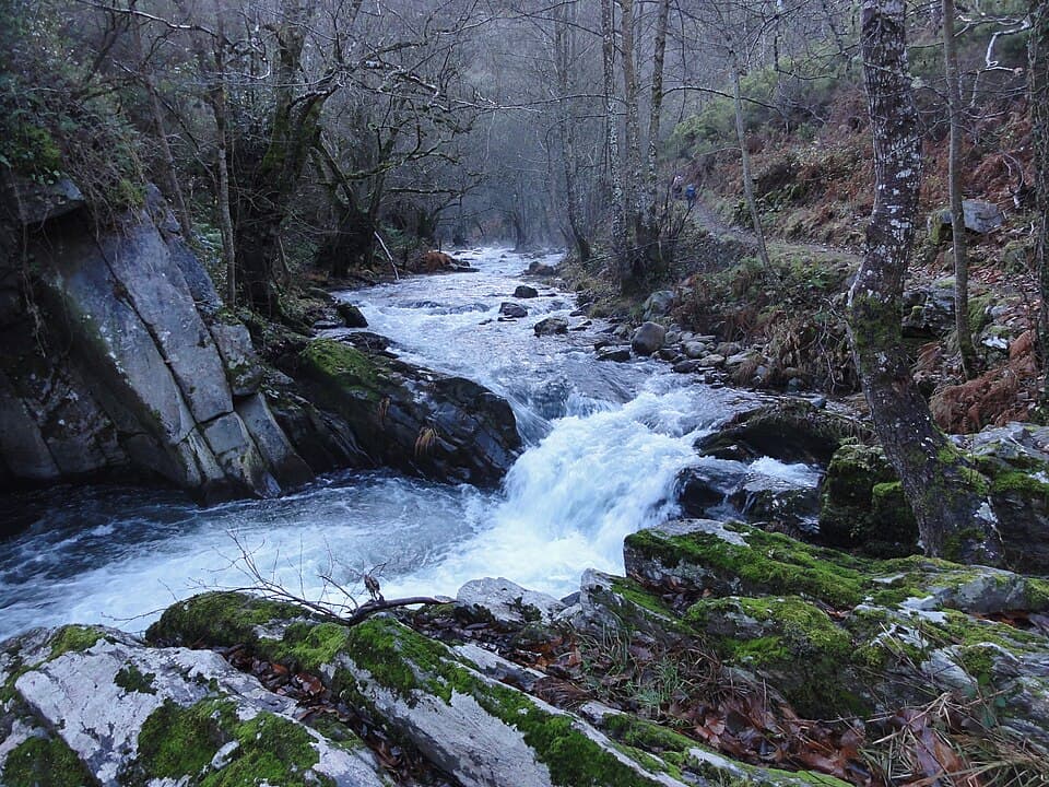
Spread across the municipalities of Ribeira de Piquín, A Fonsagrada and A Pontenova, the Carballido Forest is one of the best-preserved native forests in Galicia. It stretches along the narrow slate gorges carved by the Rodil River and the streams that feed into it, creating a shaded, humid environment dominated by centuries-old carballos (oak trees), alongside chestnuts, birches and an understory covered in mosses and ferns typical of Atlantic woodland. Its remarkable state of conservation has earned it recognition as a Site of Community Importance and Special Conservation Area within the Natura 2000 network, as well as inclusion in the Río Eo, Oscos e Terras de Burón Biosphere Reserve, designated by UNESCO in 2007. Its wildlife includes roe deer, small mammals and numerous forest birds. The forest can be explored via several waymarked trails: the Pena Guímara route (PR-G 139), around 10 km long, winds into Carballido as far as the Foces de A Pinguela gorges; the Gallol route (PR-G 140) covers around 17 km, and near Logares the San Andrés route, 8 km long, also sets off. Any of them is a wonderful way to discover one of the most valuable natural treasures of the Montaña de Lugo.
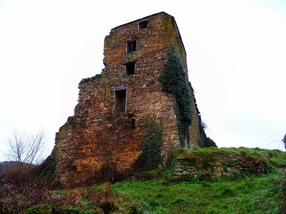
Also known as "A Fortaleza" or the Tower of the Counts of Altamira, this square tower, four storeys tall and around 15 metres high, stands in A Proba de Burón, once the capital of an extensive jurisdiction that stretched across parts of A Fonsagrada, Negueira de Muñiz and Ribeira de Piquín until the mid-19th century. Built in the 15th century by the Counts of Altamira, one of Galicia's most powerful noble houses, the fortress controlled the roads, lands and population of the area from its dominant position. In 1467, during the Irmandiño revolt, Galician peasants, worn down by feudal abuses, stormed and destroyed the castle; it was Doña Urraca de Moscoso, lady of the estate, who later forced local villagers to rebuild it. In the 18th century, a Baroque chapel dedicated to San José was added within its defensive perimeter. Today the tower and some remains of its walls still stand, ruined but still imposing, and the site has been included on the Red List of Endangered Heritage due to its state of neglect. As it sits on private land, the tower can be viewed and photographed from the outside but not entered; even so, it remains one of the most historic spots in the area, a quiet witness to medieval noble power and the peasant resistance that shaped this land.
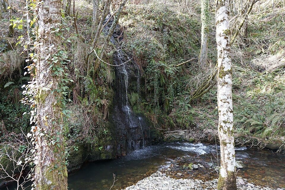
Near the hamlet of Queixoiro, in the parish of A Bastida, the Queixoiro stream (a tributary of the Rodil River, which in turn flows into the Eo) forms two waterfalls tucked between oaks and chestnut trees: a first drop of around 15 metres and, further downstream, a second one of 12 metres in free fall, both strikingly beautiful. It's reached from A Fonsagrada via the LU-701 towards Asturias; after passing Paradanova, turn towards Queixoiro and, crossing the hamlet, a dirt track descends to a small parking area where the trail begins. The path, restored and upgraded in 2013 with an investment of over €100,000, runs fenced along its entire length on the river's right bank, making it especially safe for families with children. At the first waterfall, a staircase leads down to a natural pool with a small sandy area and a viewing bench, a popular swimming spot in the warmer months. Continuing along the trail leads to the second waterfall, also fitted with steps for safe access down to its base. The route is of low difficulty, and the full walk through oak and chestnut woodland takes little effort, making this double waterfall one of the most rewarding outings in the area for the whole family.
Designated by UNESCO on 19 September 2007, the Río Eo, Oscos e Terras de Burón Biosphere Reserve was the first biosphere reserve shared by two Spanish autonomous communities, Galicia and Asturias. It spans nearly 159,000 hectares following the full course of the Eo River, from its source in Fonteo, in Baleira, to its mouth at the Ribadeo estuary, and also takes in large parts of the Miño, Navia and Porcía river basins. A Fonsagrada, and with it A Casa de Gobo, lies within this protected territory. The landscape combines the Cantabrian coastal platform, inland mountain ranges and the A Fonsagrada plateau, with forests covering close to 40% of the area: beech groves, oak woods, mixed forest and even cork oak stands around Negueira de Muñiz. It is a territory dedicated to the long-term protection of its landscapes and species, the regeneration of native woodland and the conservation of rivers as ecological corridors. Beyond its natural value, the reserve preserves a rich ethnographic heritage tied to traditional rural life: hórreos (raised granaries), pallozas like the one A Casa de Gobo itself was built from, cortines, watermills, fulling mills and old ironworks once powered by the rivers. Stretches of the Camino de Santiago also cross the reserve, both the Camino Primitivo and the Camino del Norte, declared World Heritage by UNESCO in 2015, making this region a destination where nature and the memory of its people walk hand in hand.
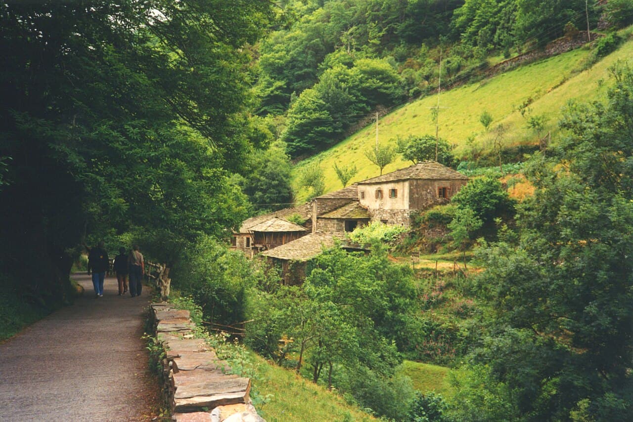
In neighbouring Taramundi (Asturias), just a short drive from A Fonsagrada, the Os Teixois ethnographic ensemble recreates a full traditional system of water-powered machinery: a dam that holds back the river, a flour mill, a hammer forge and a fulling mill, along with a sharpening stone that recalls the close ties between these workshops and the region's famous knife-making craft. Open to the public since 1980 as an open-air ethnographic museum, the ensemble lets visitors see the original machinery in motion, driven by the same water that for generations gave local families both food and work. The whole complex is protected as a Site of Cultural Interest for its historical and ethnographic value. Walking through Os Teixois offers a firsthand look at how water, stone and iron shaped everyday life in these border villages between Galicia and Asturias, a heritage that remains alive today thanks to its careful preservation.
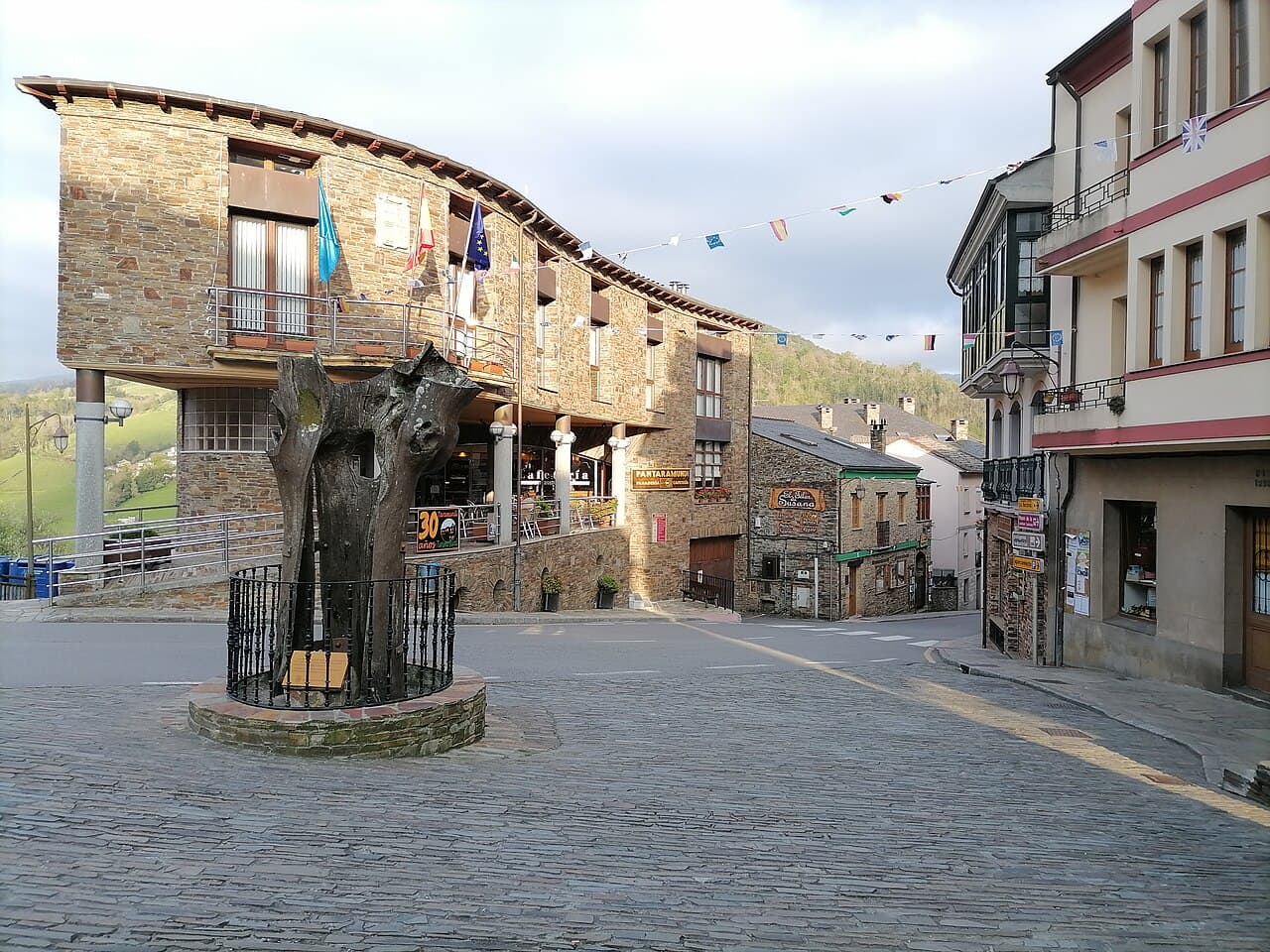
Just a few minutes from A Casa de Gobo, in the neighbouring Asturian council of Taramundi, lies one of northern Spain's best-known artisan villages. Its international fame rests on a centuries-old knife-making tradition: since the 18th century, local "ferreiros" have hand-forged pocketknives and knives with carbon-steel blades in small family workshops, fitted with handles traditionally made of boxwood and decorated with geometric patterns unique to each craftsman. Recognised as a Zone of Artisanal Interest, this craft can still be seen today in the village's many workshops, where the celebrated Taramundi pocketknives are made piece by piece following the traditional process. Taramundi was also a pioneer in Spain, launching the country's first rural tourism project in 1984, and it keeps that spirit alive around its Plaza del Poyo and stone-built streets. Just outside the village centre, the nearby Museo de los Molinos de Mazonovo, one of Spain's largest museums dedicated to traditional milling, rounds off a visit to a village where iron, wood and water keep telling the same story from one generation to the next.
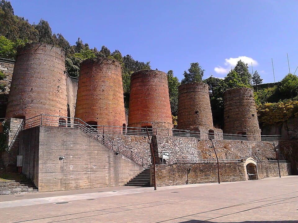
In neighbouring A Pontenova, very close to A Fonsagrada, stand Os Fornos: five imposing calcination furnaces built between 1902 and 1925 by the Sociedade Mineira de Vilaoudriz, 11 metres tall and 4 metres in diameter, which lend their name to the town's own square. Here, iron ore extracted from the Vilaoudriz and O Boulloso mines underwent a 24-hour calcination process to remove phosphoric residues before being carried by rail to the port of Ribadeo, from where it was exported across Europe. Mining activity drove the local economy until the mid-20th century, when it ceased due to low profitability. Now restored, Os Fornos stand as the great monument to the region's industrial past and the starting point of the Ruta dos Fornos, a walking trail through this remarkable mining heritage.
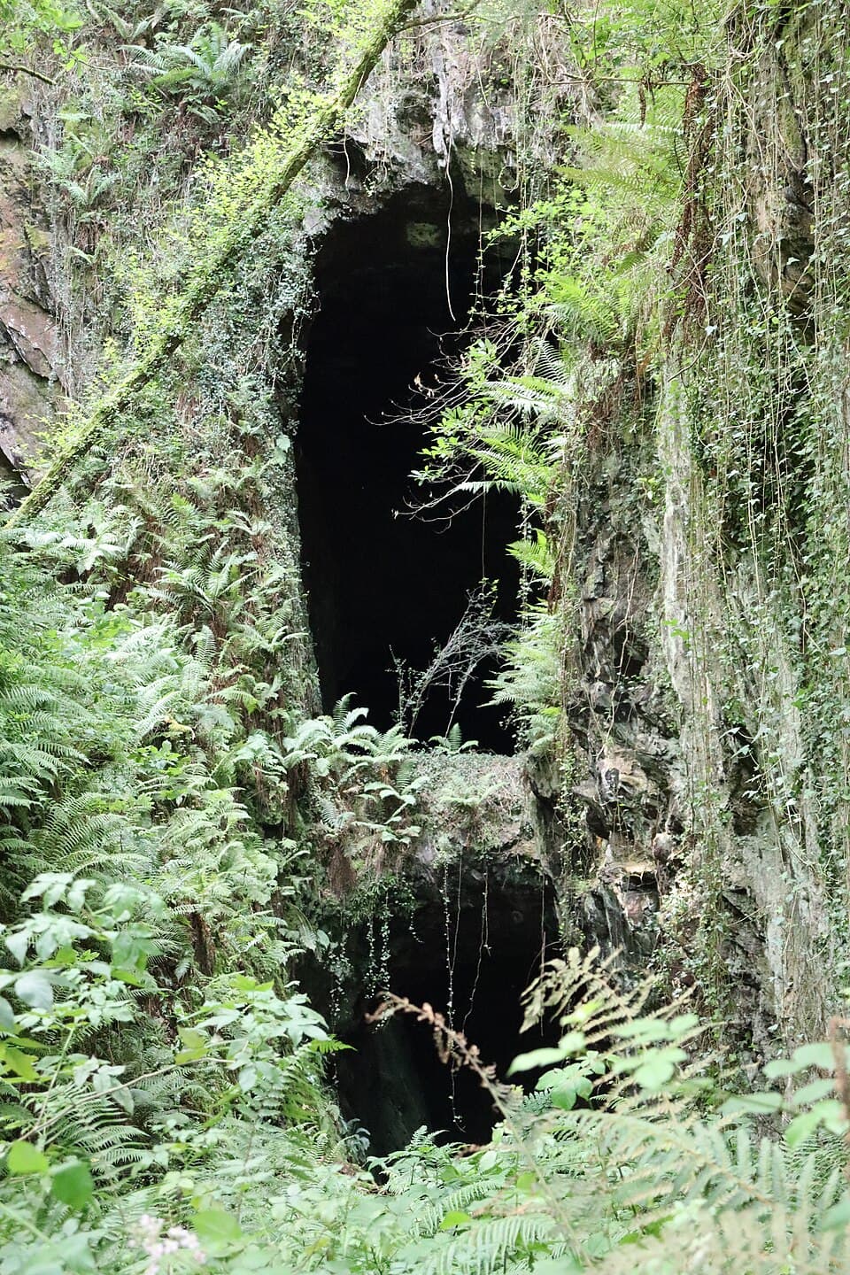
In A Pontenova, just at the gates of A Sendiña, Mina Consuelo was once one of the most important iron mines in Galicia. Worked from 1905 for nearly two decades, it has eight levels (five underground and three open-air) and around three kilometres of excavated galleries, today the only mine in Galicia open for public visits. The Ruta das Minas, an 11.8 km circular route lasting about three and a half hours, starts at the old train station (now the tourist office) next to the calcination furnaces and links the old mining cable car, Mina Consuelo itself, the Sanctuary of Conforto, and the tunnel and furnace of O Boulloso. The experience is rounded off by the Tirolina das Minas, a 330-metre zip line set 80 metres up, built along the route of the old cable that once carried ore down to the furnaces: a thrilling way to fly over the same landscape that lived off iron for decades.
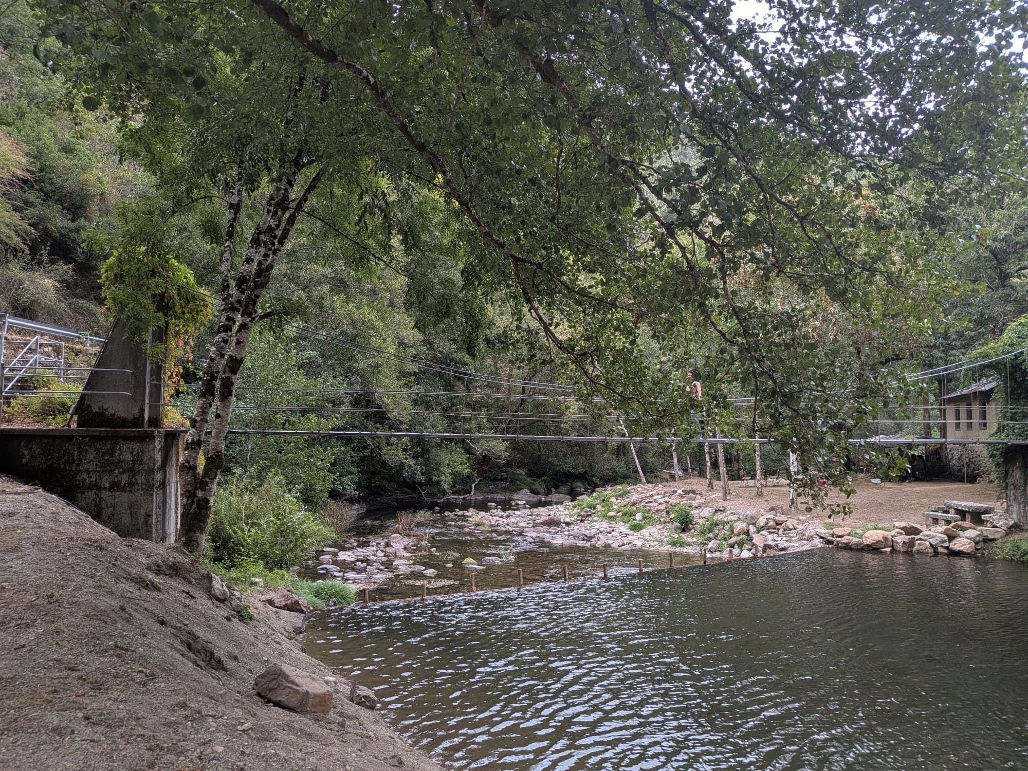
Just 10 km from A Fonsagrada along the LU-721, passing the Vilagocende waterfall, lies one of the region's most distinctive spots: the Pena do Inferno river beach. Set in a meander of the Lamas-Vilabol river, a tributary of the Navia, at 290 metres above sea level, its sandy stretch formed from the remains of a glacial moraine, crowned by an imposing rock outcrop that gives the place its name. A suspension bridge crosses the river to the far bank, where the area's only establishment stands: a small bar serving homemade treats. Developed as a recreation area three decades ago, the spot is perfect for swimming, hiking, fishing, or simply relaxing on the sand or grass to the sound of water and wind. Among chestnut, oak, birch, alder, walnut, strawberry trees and ferns live species such as wild boar, polecat, mink, heron, pine marten, fox and hedgehog, making this inland beach a small natural haven just minutes from A Casa de Gobo.